
SMART CITY & INTELLIGENT TRANSPORT
Integrated traffic control, junction and corridor coordination, road monitoring, public-transport interfaces, parking guidance, communications and operating-center workflows.
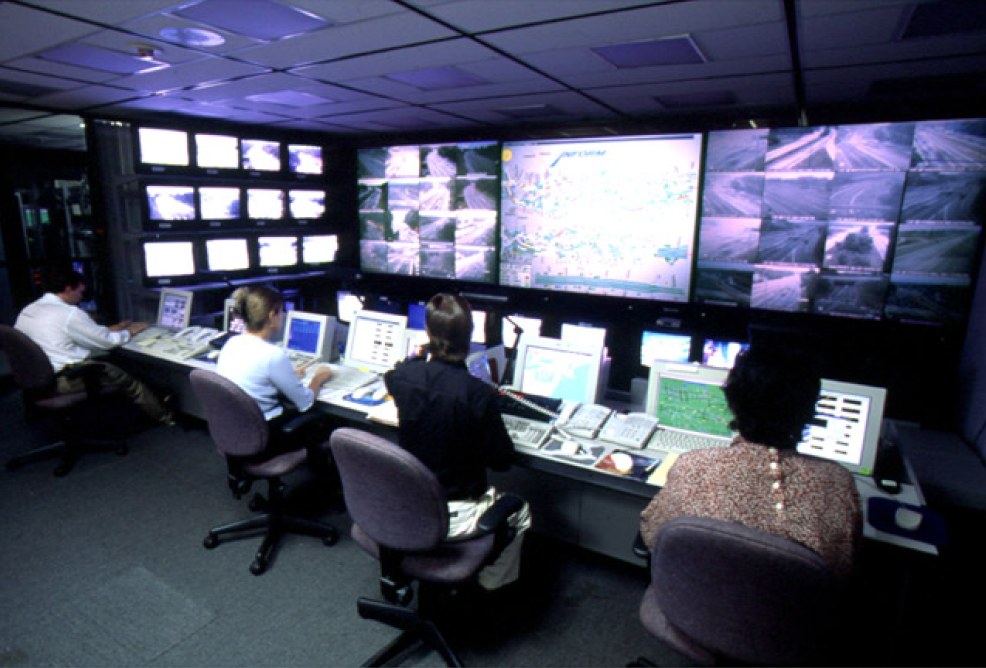
Traffic management and control center
The control center brings junction status, detector data, road monitoring, incidents, public-transport interfaces, parking information and operator actions into one governed operating view. Local traffic safety and controller fallback remain independent.
- Network and junction operating overview
- Role-based alarm, event and evidence workflow
- Shift handover, reporting and authorized control
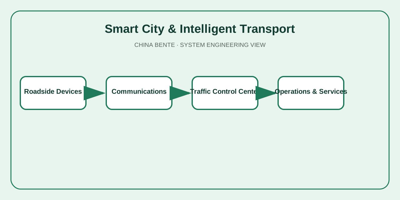
Integrated system architecture
Signals, detectors, cameras, variable-message signs, weather or environmental sensors and approved third-party interfaces connect through resilient communications to the traffic platform.
- Junction controllers, detectors and monitoring devices
- Fiber, cellular or radio communications with health monitoring
- Traffic database, maps, alarms, reports and service interfaces
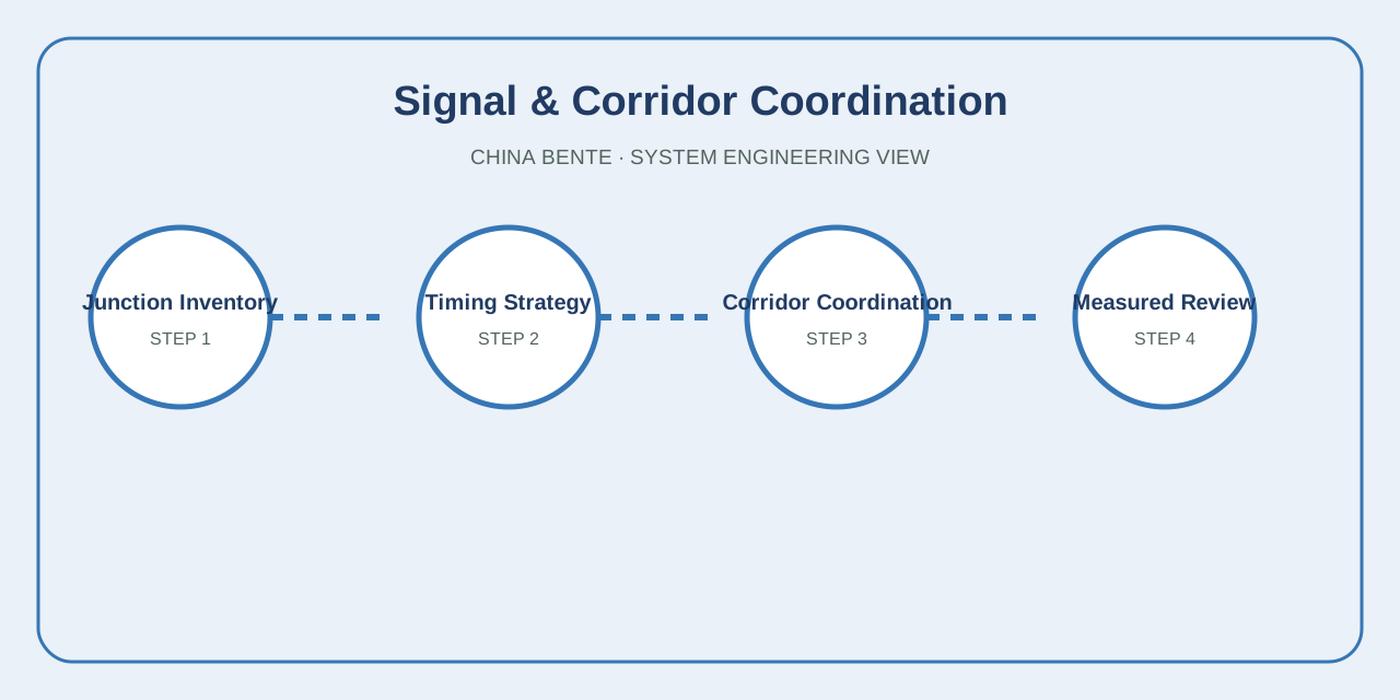
Junction and corridor signal coordination
Signal work begins with controller and junction inventory, geometry, pedestrian requirements, measured demand and queue behavior. Timing plans, offsets and permitted priority rules are tested before operational release.
- Controller, phase, intergreen and detector inventory
- Cycle, split and offset strategy by operating period
- Fallback plans, field observation and measured review
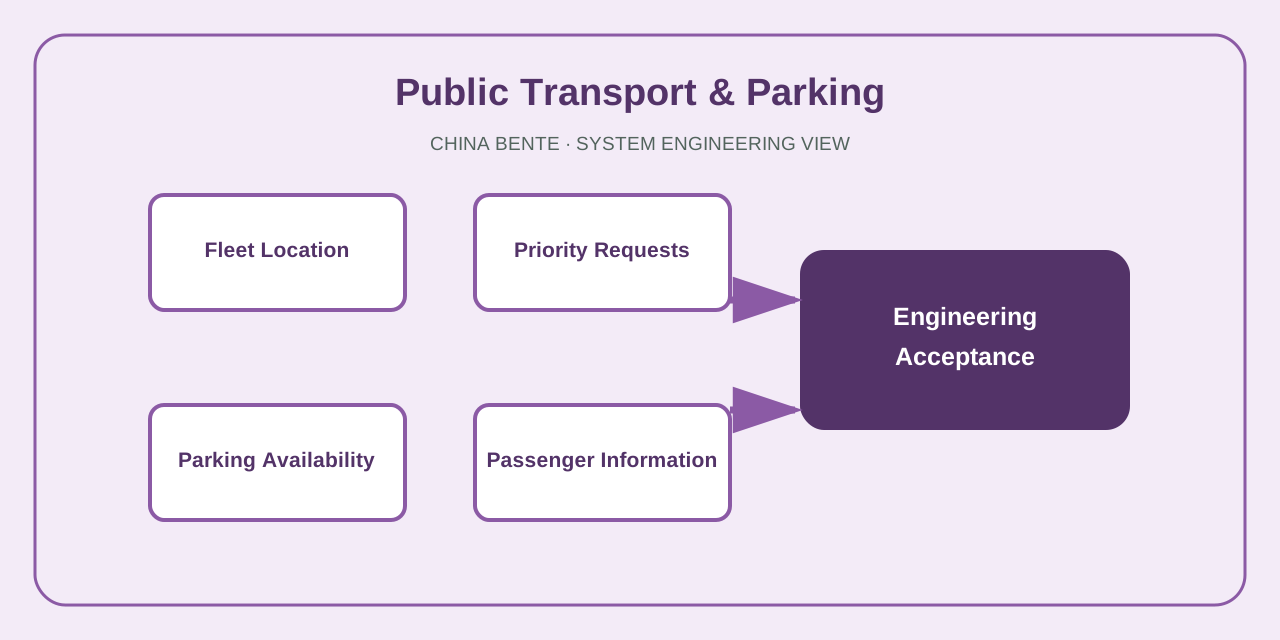
Public transport, parking and traveler information
Vehicle-location feeds can support bus priority and passenger information, while parking occupancy and guidance systems direct drivers to available facilities. The final scope depends on the local operators and data authority.
- Fleet location, route and priority-request interfaces
- Parking occupancy, guidance and payment-system boundary
- Passenger, roadside and digital information channels
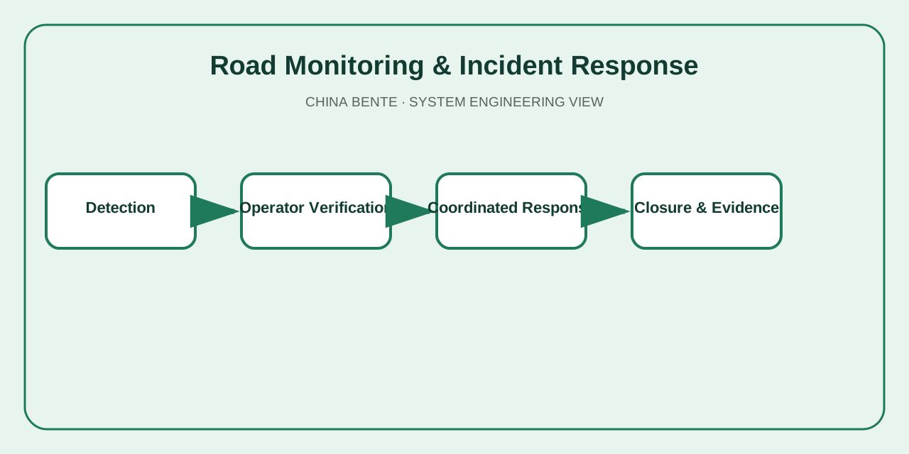
Road monitoring and incident response
Possible incidents are detected through operators, cameras or available sensors, verified before action, and routed to the responsible agencies. Every escalation, traveler message and closure retains a time-stamped record.
- Detection and operator verification
- Response coordination and traveler information
- Closure evidence and recurring-location analysis
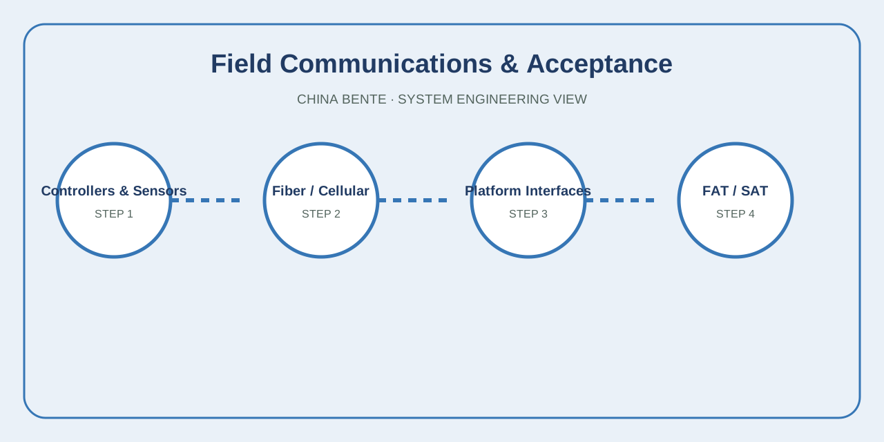
Communications, cybersecurity and acceptance
The project defines network zones, user roles, device identity, approved remote access, time synchronization, backups and communications-loss behavior. FAT and SAT confirm field devices, platform functions and recovery scenarios.
- Device and communications inventory
- Permissions, logging, backup and restore
- FAT, SAT, failure, recovery and operator training
Design inputs and engineering outputs
| System area | Required project inputs | Engineering output |
|---|---|---|
| Signals and corridors | Junction geometry, controllers, phases, pedestrian needs, demand by time period, queues and priority rules | Controller schedule, timing plans, coordination strategy, fallback and field-validation plan |
| Detection and monitoring | Coverage objective, traffic variables, camera/sensor locations, environmental conditions and evidence needs | Device schedule, coverage layout, data-quality rules, alarms and maintenance access |
| Public transport and parking | Fleet-location feeds, routes, priority policy, parking inventory and operator interfaces | Interface design, priority workflow, occupancy and guidance logic, passenger-information boundary |
| Communications | Existing fiber/cellular/radio network, bandwidth, latency, power, cabinets and service responsibility | Network topology, resilience, monitoring, local fallback and restoration procedure |
| Acceptance | Device list, scenarios, service levels, failure behavior, users, reports and training scope | FAT/SAT scripts, performance evidence, recovery tests, documentation and handover |
Connected sanitation operations
City operating teams can coordinate vehicles, collection points and transfer facilities through a smart waste collection and transfer platform.
Frequently asked questions
What information starts an intelligent-transport design?
The design starts from the road network, junction and controller inventory, traffic-demand patterns, existing communications, available detection, operating responsibilities and approved service objectives.
Does the platform replace local traffic controllers?
No. Local controllers retain approved safety and fallback behavior. The platform coordinates, supervises and records operations within the accepted authority boundary.
Can existing signals and cameras be reused?
Yes, after their protocols, condition, coverage, data quality, communications, cybersecurity and maintainability are verified.
How is corridor signal coordination developed?
Timing plans are prepared from measured demand, junction geometry, pedestrian requirements, queue behavior and operating priorities, then tested and reviewed against observed conditions.
Can buses receive signal priority?
Yes, when vehicle location, route logic, schedule or occupancy data, junction interfaces and the permitted priority rules are available.
What happens when communications fail?
Local junctions continue in an approved fallback mode while the control center records the loss, raises an alarm and supports controlled restoration.
How are incidents handled?
Detection from operators, cameras or other sensors is verified before coordinated response, traveler information, escalation and closure records are issued.
How is the system accepted?
Acceptance covers devices, communications, platform functions, permissions, alarms, timing plans, interface behavior, failures, recovery, reports and operator training.
Define the system from the operating requirement
Share the site, process, equipment, users, data interfaces, constraints and acceptance objectives.
Request Project Evaluation →